Most of my images posted on the bird threads are taken in Allentown, PA's Lehigh Parkway. While I have roamed this park for several decades, I am sure that most or all of the forum's participants have little or no knowledge of the Parkway. So, in this thread I will use some images taken over the past eleven months to provide a context for the portion of the park in which I gather my images.
Let's start with a Wikipedia entry for the Parkway:
"Lehigh Parkway is a large public park along the Little Lehigh River in the city of Allentown, Pennsylvania, in the United States. It is the most prominent park of the city and follows the Little Lehigh Creek for three miles from the center of the city to Cedar Crest Boulevard.'
The park features many scenic exercising trails in addition to bridle paths, a shooting range, and many fishing locations. The park includes the Lil-Le-Hi Trout Nursery which hatches over 30,000 mature trout each year. The Museum of Indian Culture is also part of the parkway. The parkway hosts many local events and sports competitions. Every year, the city of Allentown also puts on a holiday light display there called "Lights in the Parkway".
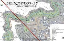
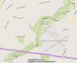
Next is a city map of the Lehigh Parkway along with a Bing map with my usual walking route (the red line):
The link below is to an article on the Parkway by a local TV station:
http://www.wfmz.com/features/h...
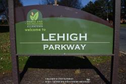
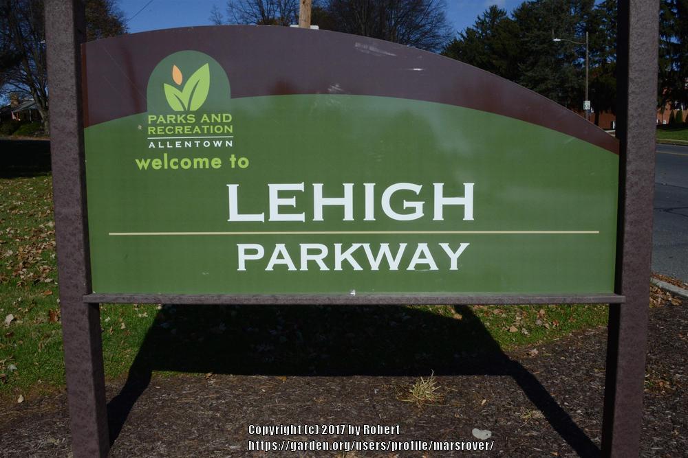
Now, the main entrance:
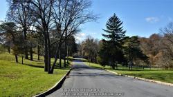
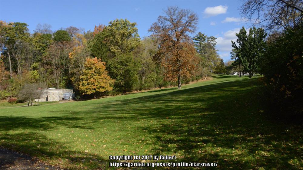
Most of the time I enter on a down-slope to the right of Park Drive:

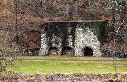
According to a Lehigh County employee, the large structure across the dale is an old iron Kiln.
A quick look back up the hill:
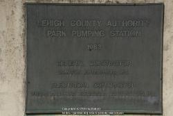
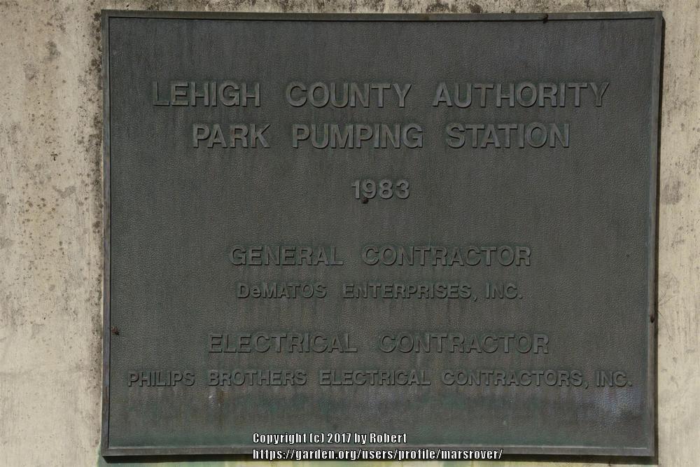
The structure on the right is a wastewater pumping station:
Heading upstream on the bridal path:
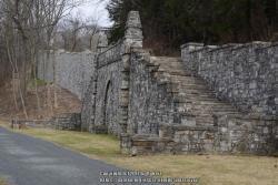
The retaining wall for Park Drive was recently repaired after a partial collapse. The wall includes a stone staircase:
Next. we come to the Little Lehigh Creek's USGS gauging station station:
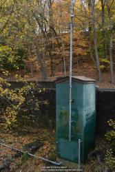
The gauging station is located river right just downstream of the Robin Hood Bridge:

Looking "upstream" on Park Drive:
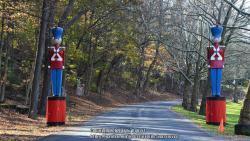
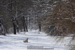
Lights in the Parkway preparations.
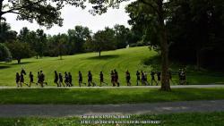
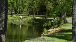
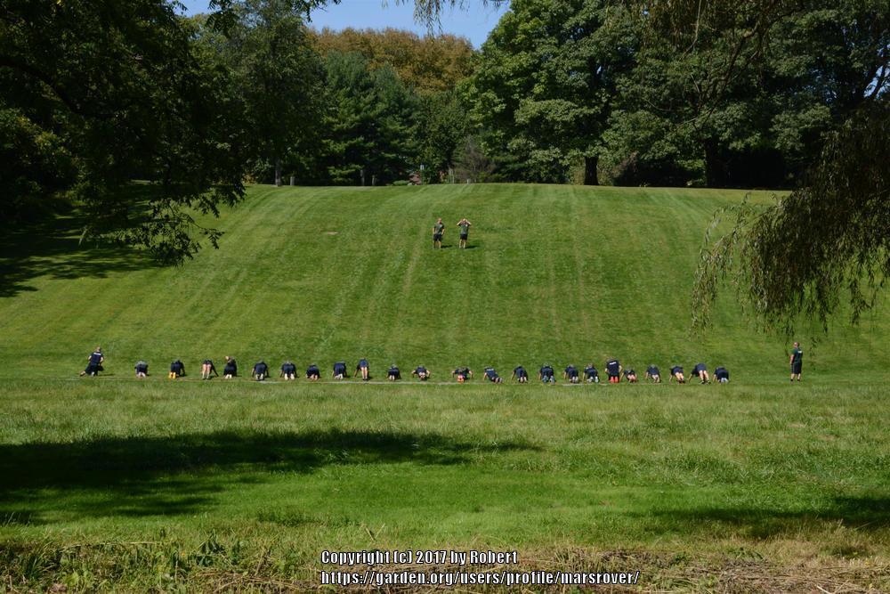
A few hundred yards up the Parkway we see a Police Academy class out for a run:
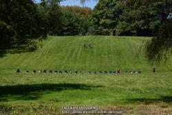
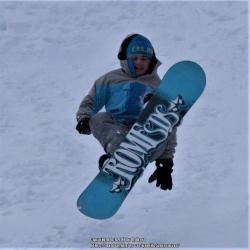
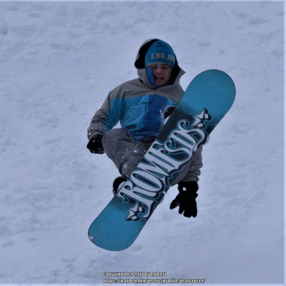
A bit further along on another day, looking across the stream, we spot the class using a popular slope for more physical training and winter sport enthusiasts:
Looking upstream we spot a ninety degree bend in the stream:
And then, looking back downstream at the bend:
Further up the bridal path, we see the next stream bend:
In the bend, the other bridal path is visible and reveals the cadets on another run.
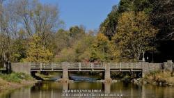
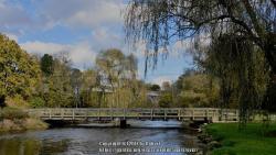
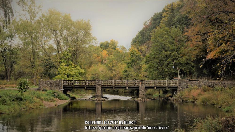
After the bend, we look downstream at Klein's Bridge (the new footbridge):

A bit further upstream a shady nook below the Police Academy.
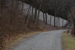
A few hundred yards upstream on the bridal path in the winter:
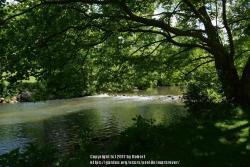
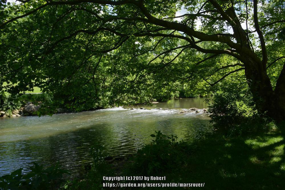
Some of the wing-dams near the Police Academy
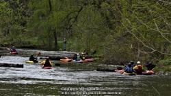
And, a look down the September Kayak racecourse.
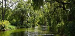
Next, an almost tropical looking segment.
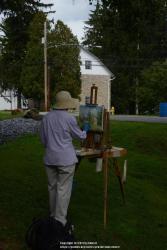
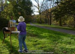
Just before the covered bridge, a painter attempts to capture the barn where the barn swallows sometimes hang out:
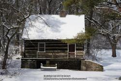
And, the Hunter's Cabin to her left:
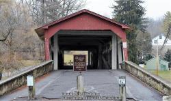
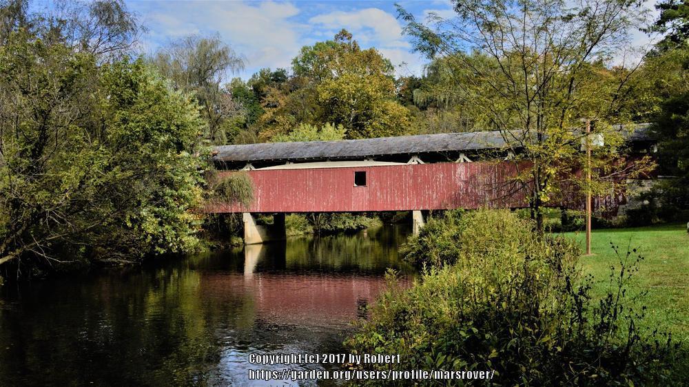
Now, Bogert's 1841 covered bridge:
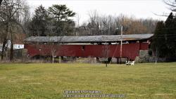
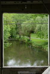
And looking downstream:


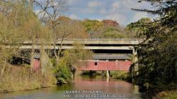
The last image includes the South 24th Street Bridge.
Our painter tries to capture a view upstream of the covered bridge:
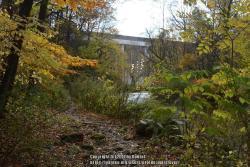
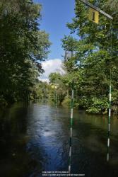
Further along, a footpath diverges from the bridal path with the I-78 overpass in the dstance.
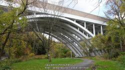
Back on the brdal path, looking downstream at the I-78/Rte 309 bridge:
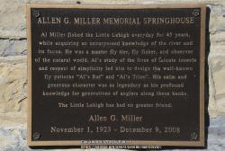
Standing next to the Allen G. Miller Springhouse looking downstream over Firemans' Bridge with the I-78 bridge in the distance:
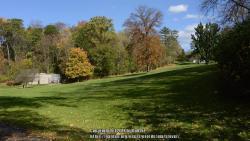
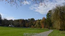
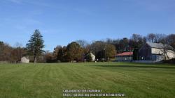
My long walks turn around here, looking back at horse stables and the Indian Culture Museum:
And that brings our little tour to an end. Thanks for joining me on this introductory stroll.


 The retaining wall for Park Drive was recently repaired after a partial collapse. The wall includes a stone staircase:


 Lights in the Parkway preparations.


 In the bend, the other bridal path is visible and reveals the cadets on another run.
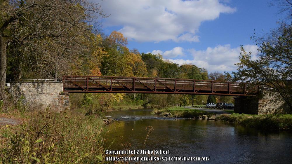
 A bit further upstream a shady nook below the Police Academy.
 Some of the wing-dams near the Police Academy
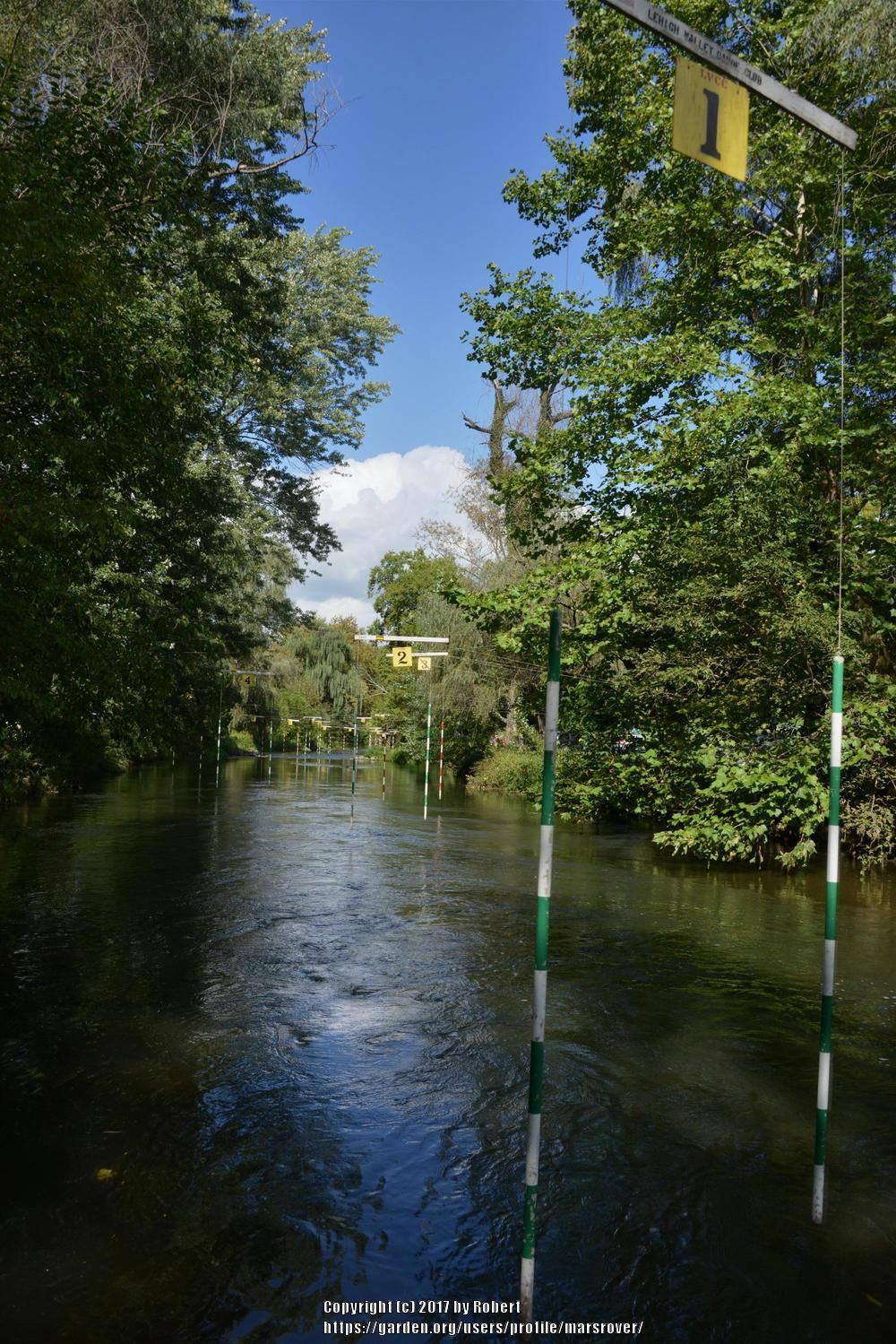
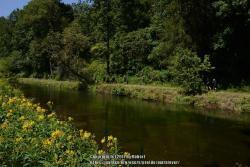
 Next, an almost tropical looking segment.
 And, the Hunter's Cabin to her left:


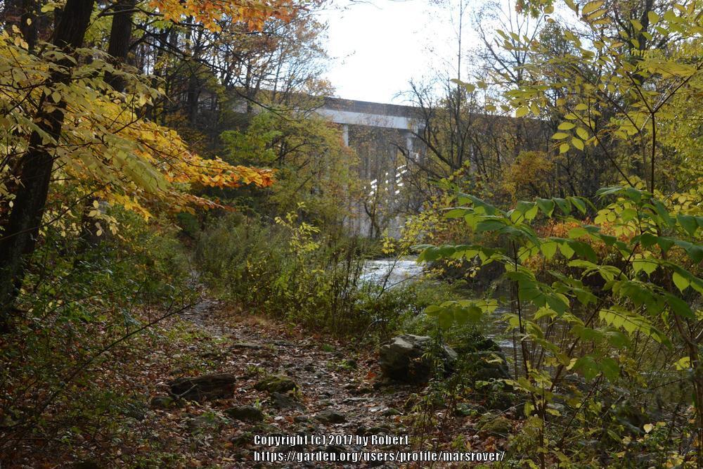 Further along, a footpath diverges from the bridal path with the I-78 overpass in the dstance.


